
Don Carter State Park Paved Walks: Woodland Loop or Overlook? |
Choose a land-based first visit that fits your group’s distance and surface needs. |
Don Carter State Park paved trailsDon Carter State Park paved trails give a land-based visit a specific starting point. Don Carter State Park can work as a land-based Lake Lanier outing when your group wants a paved walk rather than a boat rental or a long forest hike. The important decision is which named route fits the people coming along. A description of the whole park does not tell a parent how far a particular walk goes or where its surface changes. The official Don Carter trail descriptions for Don Carter State Park paved trails identify Woodland Loop as a paved route of about 1.5 miles, open to strollers and bicycles. The page describes it as ADA-accessible and warns of a steep grade on that route. Treat those details together: paved does not mean every part is level or equally comfortable for every visitor. The paved Overlook Trail is much shorter, only a couple hundred yards, with parking at the visitor center. Its continuation uses rock steps to reach another trail. For a group requiring a paved route, that surface change matters more than the temptation to keep following a path simply because it continues. |
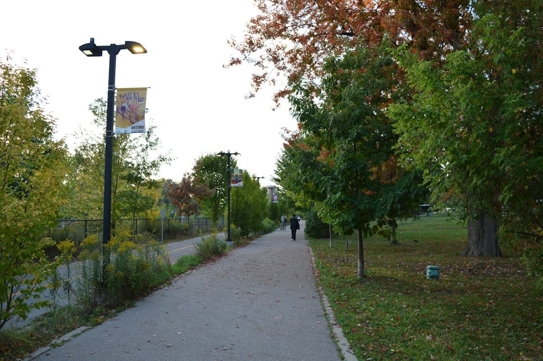
 Illustrative walking or picnic stock photograph; not Don Carter State Park or a verified view of its trails. Photo by Juliane Liebermann on Unsplash |
Don Carter Woodland LoopThe Don Carter Woodland Loop is one route to compare with your group’s actual needs. Start with a realistic walking distance and the time available for returning to your vehicle. A short outing can include observing the trees and taking a pause without completing every trail nearby. Agree on the point at which the group will turn around, especially when children or a person using a mobility device is setting the pace. Consult the current park page for access notices, maps and contact information. As checked for this October 5 guide, the park warns that low water makes the designated swimming area inaccessible while the beach remains open. This article’s plan stays on land; it does not promise a swimming stop. Ask park staff about the named trail, its grade and current conditions if your group has a specific access question. Describe the actual need rather than asking only whether the entire park is accessible. The answer may affect where you park and whether a shorter route is preferable. Confirm day-use arrangements and any applicable parking charge before departure. An overnight reservation, rental listing or seasonal activity is a separate decision. Do not assume that seeing it on the park’s website means it is included in an ordinary walking visit. |
 Illustrative walking or picnic stock photograph; not Don Carter State Park or a verified view of its trails. Photo by Zen Chung on Pexels |
Lake Lanier short paved walkA Lake Lanier short paved walk should leave time and energy for a comfortable return. Take a copy of the map, notice trail names at junctions and keep the return route clear. Two paths meeting does not mean they have the same surface or permitted users. If the group needs pavement, check the next section before moving from the route originally selected. Choose walking shoes, carry what your group needs for the planned distance and check the day’s weather. Look for posted directions at arrival. A change in conditions or a tired child is a good reason to shorten the outing rather than turning a small walk into an unplanned circuit. Our Lake Lanier fall activities overview offers a broader set of seasonal ideas. The Gainesville scarecrow visit guide covers a different daytime destination with its own admission and rules. Choose one main activity, verify its route and access information, and leave a second stop optional. A useful first visit ends with everyone understanding which walk worked and whether they would choose it again. Share the selected trail name with every adult joining the outing. |
0 Comments
Join the conversation
Be the first to comment
Share your thoughts above.