
Gainesville Solar System Walking Tour: Choose Your Turnaround |
Gainesville Solar System Walking Tour: start at the downtown Sun, plan the return distance and pair the model with current astronomy. |

Gainesville Solar System Walking Tour planning begins on the downtown square, not with a promise that every family must complete the full route. The local tourism map places the Sun at the corner of Bradford Street and Spring Street, giving the outing a clear starting point.
The official walking-tour brochure describes a 1.8-mile journey through the square and connected parks toward Longwood Park. It also identifies a 3.6-mile round trip. Treat the full distance as a choice to plan for, not as the minimum needed for an interesting visit.
The brochure notes a downhill direction from the Sun toward Pluto and a more demanding walk back. Choose the distance with your companions before setting off. A short out-and-back section can still make the model’s changing distances something children notice for themselves. Use the model to ask a better question |
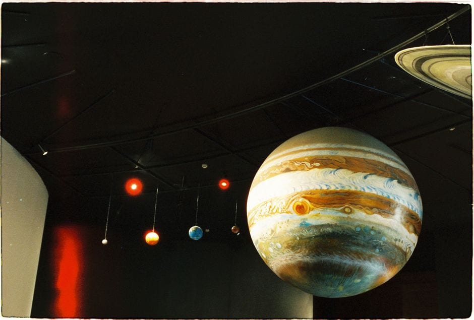 Illustrative stock photo of a museum solar-system model; not Gainesville’s outdoor markers or an accurate scale reference for the walking tour. Photo by meomupmofilm on Pexels |
Begin with the relationship between the objects, rather than trying to deliver a complete astronomy lesson beside the first marker. Ask what a scale model helps us understand and what it cannot reproduce. The walking distance represents a model, while the planets remain far beyond the park.
Read each available marker before adding facts from memory. Planetary knowledge changes, and an outdoor installation can preserve information from the time it was made. If a label prompts a question, write it down and compare it with a current scientific source after the walk.
For classification, NASA’s planet overview identifies eight planets and classifies Pluto as a dwarf planet. A Pluto stop on the route remains an interesting part of the model; its presence does not change that scientific classification.
Let children pick one comparison to explain in their own words. They might notice a large gap between markers or recognize the name of an object they have read about. Avoid turning the outing into a race to collect every stop, especially when someone is already tired. Plan the real walk as carefully as the model |
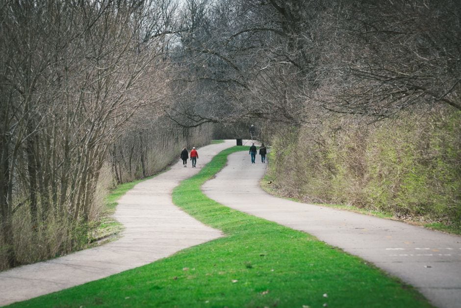 Illustrative stock photo of a park path; not the Gainesville tour, a verified trail surface or current route conditions. Photo by Chris F on Pexels |
The city’s greenways page connects the Solar System tour with Rock Creek Greenway and its parks. Review the current route and posted conditions for the places you intend to use. A tourism listing does not establish unrestricted access to every park feature at every hour.
Our Rock Creek Greenway starting-point guide covers the broader walking corridor. For this learning-focused trip, agree on a turnaround and keep enough time and energy for the return. Ask the city about a particular surface or access need rather than assuming one description fits the entire route.
Use the current brochure to consider parking and the sequence of your outing. Share the starting location with companions, carry the map in a form you can consult, and follow the actual pedestrian route. Do not improvise a road crossing merely to keep moving toward the next object. Keep an alternative learning planOur Northeast Georgia History Center guide offers a separate Gainesville learning outing. Check its opening and booking requirements independently if weather or your group’s needs make an indoor option more suitable.
Finish with one observation and one question to investigate later. Understanding a small part of the model is a worthwhile result. Use current sources for astronomy, the official map for the route and the group’s actual comfort for deciding how far to go. |
0 Comments
Join the conversation
Be the first to comment
Share your thoughts above.