Use the current trail map to separate an easy first walk from future connections. |
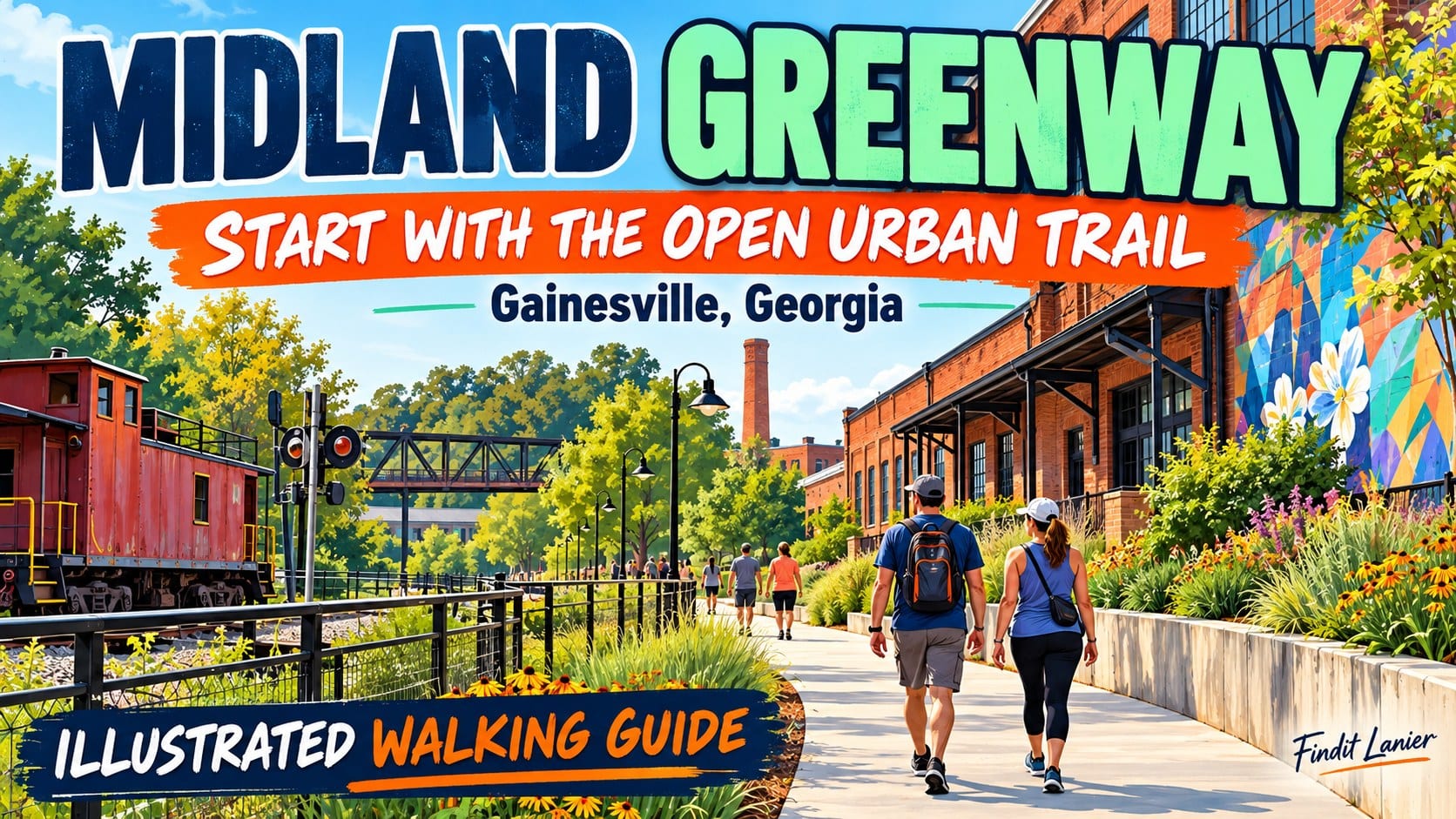
Midland Greenway in Gainesville: Start With the Open Urban TrailAn urban walk south of the squareMidland Greenway offers a different Gainesville outing from a lakeside picnic or a wooded creek walk. It sits south of the downtown square in the city’s former industrial area, where an old rail corridor has become a setting for walking, public space and neighborhood activity.
The city’s parks overview identifies Midland as part of Gainesville’s redevelopment efforts. For a first visit, make the walk itself the main plan. You can look at the setting and decide how long to stay without committing to a large regional trail route.
The Highlands to Islands trail map page lists the open Midland segment at 0.69 miles, from Parker and Grove streets to Pine Street and Industrial Boulevard. That figure describes the listed segment, not a promised continuous walk through every planned connection.
The same source lists parking at 422 Banks Street, the Midland trailhead at 682 Grove Street and Engine 209 Park at 500 Davis Street. Choose one listed starting point before leaving and check on-site signs when you arrive. A venue address alone does not tell you which approach fits your group.
If someone needs a particular surface, slope or step-free route, confirm that specific approach with the park team. A multi-use trail description is useful context, but it does not establish every condition between a parking space and the walk. |
 Illustrative walking scene; not Midland Greenway. Photo by Ron Lach on Pexels |
Keep the first route modestStart by locating the trail and identifying how you will return to the same vehicle. A short out-and-back is a practical first visit because you can turn around when the group is ready. Set a time limit together rather than using the whole listed distance as an obligation.
Look for public art and changes in the surrounding streetscape as you go. This is an urban corridor, so the interest comes partly from how the city has reused space. Pause where there is room to step aside and keep the shared path clear for other users.
Children may prefer an observation game: spot a piece of public art, notice a rail-related feature or compare two buildings. Keep the prompts open-ended and use what is actually visible. There is no need to invent a scavenger hunt that depends on a feature being accessible that day.
Watch the signs at street crossings and keep the group together. If a section is busy, affected by work or unsuitable for your pace, shorten the walk. A successful first outing can be a brief look at one portion rather than a completed mileage target.
Carry water and dress for the day’s conditions. If you plan to use another amenity, check its own rules and availability. A dog area, playground or special event has a different purpose from a shared walking route and may change how crowded the area feels. |
 Illustrative outdoor path; not Midland Greenway. Photo by 飞 谢 on Pexels |
Read expansion plans as plansThe current trail map separates open trails from projects under construction, design or planning. Consult that distinction before adding a longer connection to your itinerary. A map of the wider Highlands to Islands vision is not evidence that every link can already be walked.
Check the current information again before departure and follow any temporary closure signs. If your intended outing depends on reaching a particular destination beyond Midland, confirm the route with the responsible trail team instead of assuming the next segment continues uninterrupted.
For another Gainesville walk, our Rock Creek Greenway first-visit guide focuses on choosing a park and turnaround in a different setting. If the day calls for an indoor art stop, our Quinlan family gallery guide explains that alternative without making it part of the Midland route.
Sources were checked October 7, 2026. Leave with one clear starting point, a manageable return plan and a current map of the open segment. That is enough for an enjoyable first look at this part of Gainesville. |
0 Comments
Join the conversation
Be the first to comment
Share your thoughts above.