
Sugar Hill Greenway First Walk: Start at Gold Mine Park or Downtown? |
Choose a trailhead and a short return route instead of assuming the planned loop is complete. |

Sugar Hill Greenway first walkA Sugar Hill Greenway first walk begins with a starting point suited to the group. A first Sugar Hill Greenway walk does not require starting at the beginning of the city’s planned trail network. Decide whether the group wants a downtown start or a park-based walk, then choose a distance it can comfortably repeat on the return. The trailhead is a practical choice, not a test of how much mileage a family can complete. The city’s greenway guide for Sugar Hill Greenway first walk identifies Cornerstone Park, at West Broad and Church streets, as the downtown starting point at mile marker zero. It also identifies Gold Mine Park as an access point farther along the route. Those options can serve different outings without requiring a walk between both of them. The official Gold Mine Park page gives its address as 440 Level Creek Road. The park recognizes Sugar Hill’s mining history and serves as a greenway trailhead. Treat the historic viewing setting as part of a walk, not an invitation to enter a mine or a promise of a gold-panning activity. Share the selected starting point with everyone coming along. A downtown address and a park address are not interchangeable when two adults are trying to meet with children in separate vehicles. |
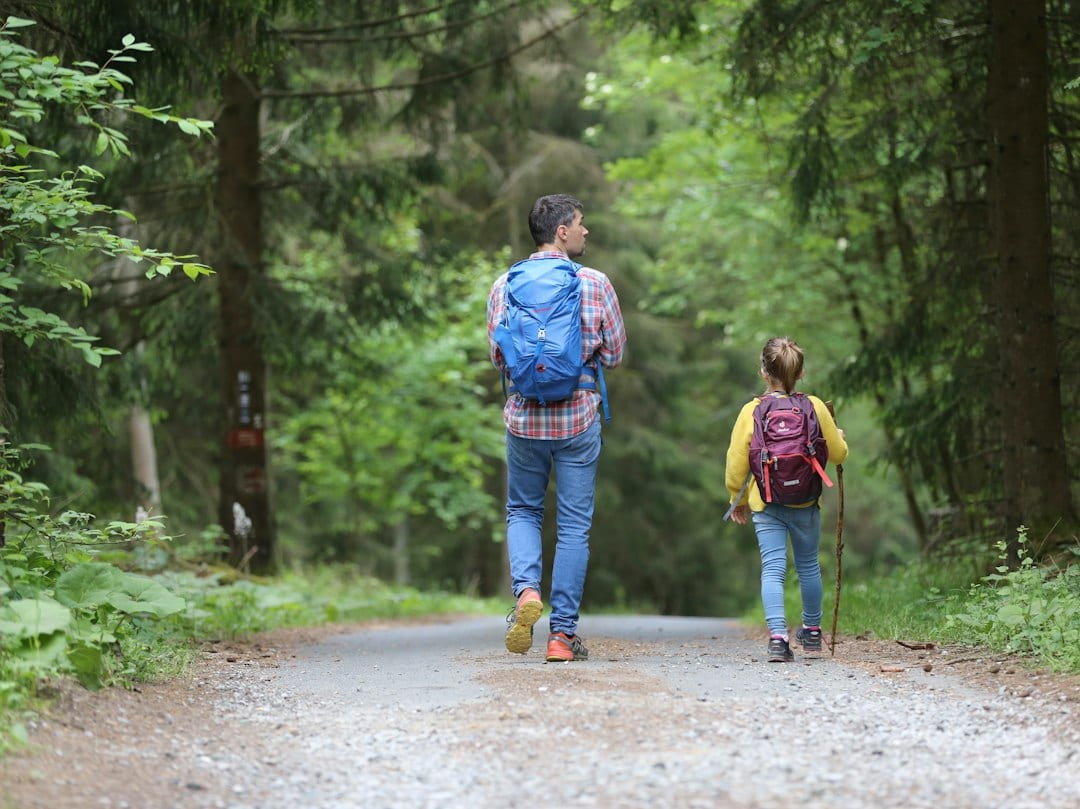 Illustrative greenway-walk or picnic stock photograph; not Sugar Hill, Gold Mine Park or its historic mine viewing area. Photo by Juliane Liebermann on Unsplash |
Gold Mine Park walking routeA Gold Mine Park walking route should follow the completed greenway rather than its planned total. The city’s greenway description distinguishes an open first leg from the larger planned network. A future loop length is not evidence that a visitor can walk an uninterrupted circuit today. Use the current entrance and route guidance when deciding where to go, and check notices or posted information before beginning. The route descriptions include sidewalks, wooded sections, bridges and road crossings. That means a greenway plan should account for more than a generic picture of a forest path. Identify the part you intend to use and the point at which you will turn around. Ask the recreation office about any surface or crossing that matters to your group. A park start may fit someone who wants a short woodland segment. A downtown start may fit someone pairing a walk with another independently checked town stop. These are planning choices, not guarantees about which entrance is quietest or how busy the route will be at a particular hour. If exact distance is important, trace the selected section on the current map and remember that an out-and-back walk includes the return. A mile marker identifies a position on a network; it does not necessarily describe the amount your group must walk from its own parking space. |
 Illustrative greenway-walk or picnic stock photograph; not Sugar Hill, Gold Mine Park or its historic mine viewing area. Photo by Reba Spike on Unsplash |
Sugar Hill Greenway downtown trailheadThe Sugar Hill Greenway downtown trailhead is another option to assess before sharing a route. The city describes the path as shared by people walking, cycling and using mobility devices. Read its current use rules before bringing equipment, keep pets leashed and preserve space for others to pass. Stop for a conversation or a photograph where the group will not block the route. Keep children within the group and agree on how to handle a junction. Turn around at the chosen point rather than following a new branch because it looks interesting. Check the weather and notice any closure signs when arriving; a shorter walk remains a complete outing. Our Suwanee access-check guide explains a separate nearby network’s entrance and construction notices. The Don Carter paved-walk comparison offers another route-specific option. Choose one main walk, confirm the selected entrance and keep the return plan clear. The useful result is knowing which starting point works for your group, so the next visit begins with less guesswork. |
0 Comments
Join the conversation
Be the first to comment
Share your thoughts above.