
The current county notice matters if your group needs a step-free entrance. |

Fowler Park Greenway Access: Check the Temporary Steps Before a WalkCheck the entrance before choosing the walkAn entrance can decide whether a greenway outing works for the whole group. Before heading to Fowler Park for the Big Creek Greenway, check the county’s current access notice rather than assuming that a paved trail has a continuous step-free approach from the parking area.
As checked October 7, 2026, Forsyth County’s Big Creek Greenway page marks the Fowler Park Trailhead at 4110 Carolene Way as temporarily not ADA accessible. Its renovation FAQ says part of the trailhead boardwalk is disconnected and users can still reach the trail using steps.
That is a specific entrance limitation, not a description of every part of Fowler Park. It is especially relevant if a visitor uses a wheelchair, cannot manage steps or is planning to move a stroller onto the trail. Decide whether the approach works before making the journey.
Do not improvise a route around a disconnected boardwalk or ask someone to negotiate an unsuitable approach. Contact the parks team about the current entrance and the requirements of your group. A successful outing begins with an access route everyone can actually use.
The county lists other trailheads, but that listing alone does not verify a suitable alternative for a particular visitor. Ask about the intended parking-to-trail route, available surfaces and any current restrictions before changing the meeting point. |
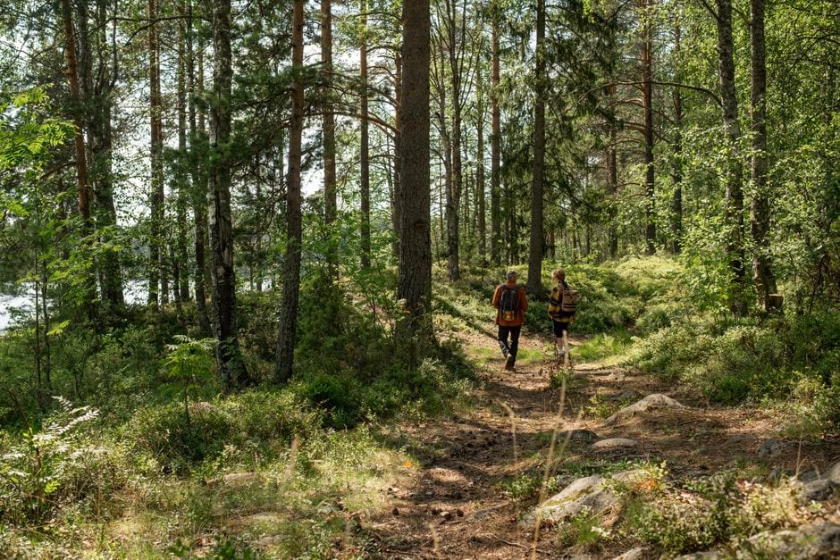 Illustrative walking scene; not Fowler Park or Big Creek Greenway. Photo by Ron Lach on Pexels |
Review the route beyond the entranceThe same county page identifies a Phase 4 closure between Bethelview Trailhead at mile marker 8.5 and south of Kelly Mill Road at marker 10.3. An available starting point therefore does not establish an uninterrupted trip through the whole greenway.
Use the county’s parks and facilities directory to identify listed alternatives, and the greenway page for current notices, then confirm signs on site. Older reopening articles can remain in search results after conditions change. Read the current location page and its updates before relying on an earlier announcement.
Choose a modest plan with a clear return to the same starting point. Tell everyone which entrance you are using, where you will meet and what would cause the group to turn back. Do not make a long through-route the default on a first visit.
Published trail hours also matter. The county lists 6 a.m. to 9:30 p.m. from March through October and 6 a.m. to 7 p.m. from November through February. Leave enough daylight for your particular outing, rather than treating the closing time as a target.
Bring what the group needs for the actual walk and check the day’s conditions. If an approach or section is closed when you arrive, respect the closure. A revised plan should use an authorized route, not an informal detour suggested by another visitor. |
 Illustrative outdoor path; not Fowler Park or Big Creek Greenway. Photo by 飞 谢 on Pexels |
Share a clear meeting planSend companions the specific trailhead address and the access finding before departure. A message that says only “meet at Fowler” can leave people at different facilities or expecting a route that is unavailable. Include the date you checked the notice so the information is easy to revisit.
Review the county’s greenway and park rules for shared-path use and the activity you intend. Keep stops out of the travel line and give others room to pass. An access-aware plan includes the approach, the walk and a workable return.
If the temporary steps do not suit the group, choose another verified outing together. Avoid describing any replacement as accessible until its specific route has been checked. The goal is a visit that fits the people attending, not simply a different pin on the map.
Our Sawnee trailhead guide and Chattahoochee Pointe land-based guide offer separate planning options to investigate. Sources were checked October 7, 2026. Recheck the county notice before departure because construction conditions and available approaches can change. |
0 Comments
Join the conversation
Be the first to comment
Share your thoughts above.