
Match the entrance to the official trail map and your group's pace. |

Sawnee Mountain Preserve: Choose the Trailhead Before Planning a Cumming WalkChoose a Sawnee Mountain Preserve trailhead deliberatelyA Sawnee Mountain Cumming walk begins before you leave home. Choose the part of the preserve you intend to explore, then save its entrance. A park name alone can send your group toward facilities that do not match the route you had in mind, leaving an avoidable decision at arrival.
The county's Sawnee Mountain trail map shows the visitor center at 4075 Spot Road and separate access areas at 2500 and 2505 Bettis-Tribble Gap Road. Match the Sawnee Mountain Preserve trailhead to the map rather than treating those entrances as interchangeable.
Before committing to a route, discuss the group's experience with hills and uneven ground. Someone who enjoys a neighborhood stroll may want a different outing from a companion seeking a longer hike. Decide together how much walking fits the day and leave time for the return before daylight fades. 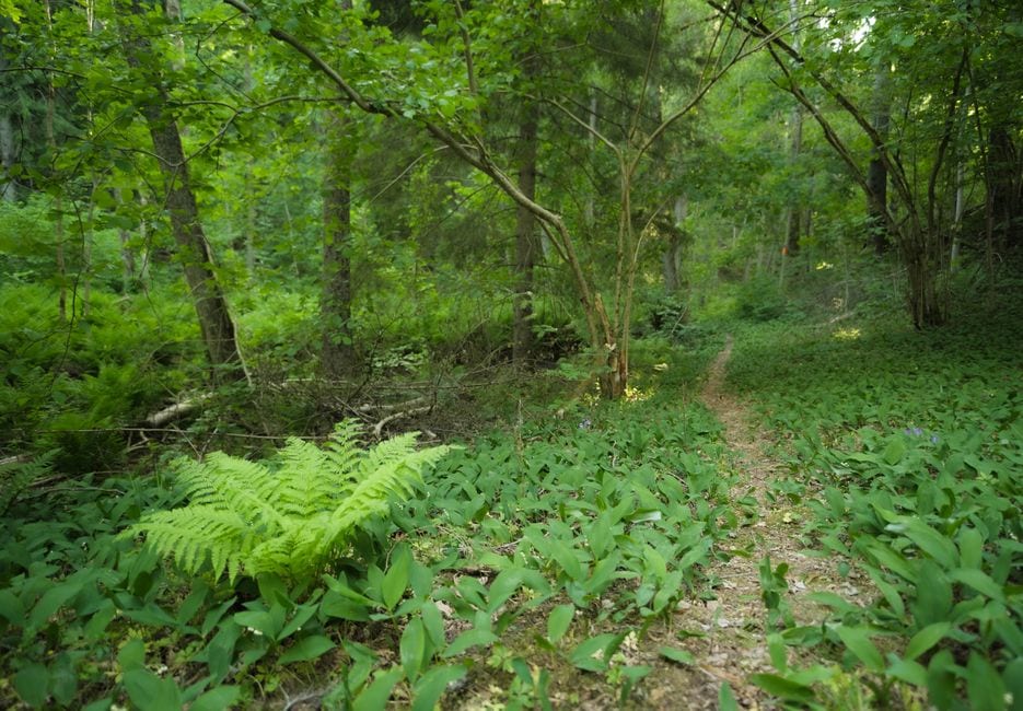 Read the Sawnee Mountain trail map before walkingThe Sawnee Mountain trail map distinguishes Indian Seats, Hilltop, Church, Mountainside and Ridgeline routes. Trace your intended path from the selected parking area, including junctions where a wrong turn could change the walk. Save a copy you can consult without depending on a strong mobile signal.
Use the legend to recognize trail markings, but confirm them against signs on the ground. A color is useful only when paired with the route name and your position. Pause at a junction long enough for everyone to understand which direction you are choosing and why it fits the plan.
Keep the first Sawnee Mountain Cumming walk conservative. A turnaround can be based on available time or a clearly identified junction instead of a distant landmark that creates pressure to continue. An out-and-back plan still requires attention on the return; familiar scenery can look different from the opposite direction. Distinguish the preserve from Sawnee Mountain ParkSawnee Mountain Park on Watson Road is separate from Sawnee Mountain Preserve. Read the county park rules alongside the map. If navigation offers a similar name, check the street address before accepting the destination. This distinction matters when meeting companions in separate vehicles.
At your Sawnee Mountain Preserve trailhead, read posted rules and current notices before starting. Check specific visitor-center arrangements if indoor time is essential to the outing. General park access and a staffed building are different parts of a visit, and a map should not be treated as a live closure report.
Bring water, appropriate footwear and whatever your group needs for the chosen conditions. Keep children close enough for active supervision and stay on designated routes. If the surface or weather differs from what you expected, shorten the plan before the group becomes tired or loses confidence. 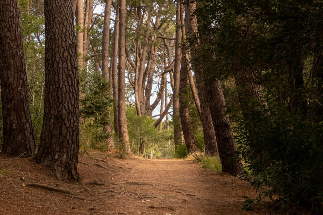 Give a Sawnee Mountain Cumming walk a clear finishMake room for pauses that do not depend on reaching a particular view. Notice changing tree cover, the shape of the ground or a small detail beside the path while remaining on the route. A first visit can build confidence through careful observation and a manageable return.
Our Don Carter paved-walk guide offers a different surface choice. Compare our Elachee visit guide if your family wants to distinguish indoor learning time from an outdoor-only plan.
Finish by confirming that everyone is back at the agreed entrance before moving on to another stop. Note the route you actually took and the section you would consider next time. A useful first outing leaves a reliable starting point for a return, with no need to stretch today's plan. |
0 Comments
Join the conversation
Be the first to comment
Share your thoughts above.