
Matt Community Park: Plan a Shared-Trail Walk in Cumming |
Plan Matt Community Park in Cumming with current trail details, the Wallace Tatum Road address and separate court or pavilion reservations. |

Matt Community Park can support a woodland walk without making the whole afternoon a sports outing. The key is to choose the shared trail deliberately, then keep court games and pavilion gatherings as separate plans. A park with several uses works best when everyone knows which visit you mean.
The current county park page lists 6555 Wallace Tatum Road, Cumming, and a 3.2-mile multi-use trail. Use that current description when preparing; an older trail-opening announcement gives a different total. Neither number tells you the surface condition on the day you arrive.
For a first outing, agree on a comfortable turnaround rather than treating the complete listed mileage as a goal. Give companions a realistic return time and enough room for breaks. A smaller walk can be a good introduction to a park you may want to explore again. Remember that the trail is sharedThe county describes Matt's trails as serving walking and biking. Follow the directional signs at the actual trailhead rather than assuming every user travels the same way. Look up from conversation or a phone often enough to stay aware of others approaching. |
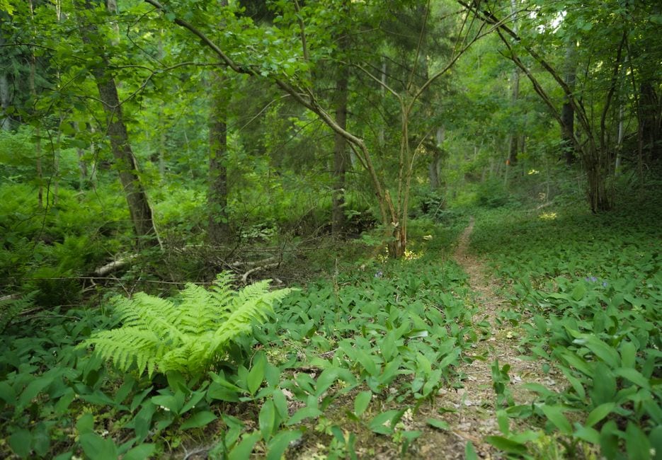 Illustrative woodland trail; not Matt Community Park. Photo by Ludvig Hedenborg on Pexels |
Let current signs and conditions guide the routeReview the county's park and trail rules before departure. Its mountain-bike guidance says hikers and bikers move in opposite directions, with signs at trailheads, and prohibits using muddy trails. Apply the signs for the route you actually enter rather than borrowing rules from a different park.
Wear shoes suited to the chosen surface and carry water. If a companion needs a particular access arrangement, ask about the exact parking-to-trail route. A general amenity label does not establish that every path or connection will suit every visitor.
The park's listed information number is 770-781-2215. A useful question names the activity and concern: current trail conditions, a shorter option or the location of the intended entrance. That is easier to resolve than a broad question about whether the whole park is “easy.”
Give yourself permission to change plans after reading the notices. If the surface is muddy or the route does not fit the group's needs, a shorter visit or another destination is more sensible than pressing on simply to match an itinerary. |
 Illustrative route planning; not a map of Matt Community Park. Photo by Tima Miroshnichenko on Pexels |
Reserve a gathering separatelyThe current page also lists six tennis courts, three picnic pavilions, a playground, restrooms and four turf rectangle fields. Courts and picnic pavilions have a reservation option. Their appearance on the amenity list does not guarantee a particular space for an unannounced gathering.
If you are organizing a picnic after the walk, confirm the pavilion, time and booking terms before invitations promise shelter. Keep the walking portion optional, and give non-walkers a clear meeting point. Separate arrangements make a mixed-interest outing easier to manage.
For another Cumming-area trail choice, compare our Sawnee Mountain Preserve trailhead guide. For a different kind of short visit, read our Poole's Mill covered-bridge and picnic guide. Those destinations have their own conditions and should be planned independently.
Before leaving, send one message with the complete address, main activity, meeting point and weather backup. Keep future development plans out of the day's promises: a proposed facility is not an open amenity. Build the outing around what the current park page and on-site notices actually support. |
0 Comments
Join the conversation
Be the first to comment
Share your thoughts above.